
CUSTOM MAPS • PROJECT VISUALIZATION
Maps Designed to Be Used and Understood.
Explore GIS maps and drone imagery from David Medara, then contact Medara Earth Technologies about a custom map for your property or project.
Maps Created for a Specific Place and Purpose
David Medara specializes in digital cartography and Geographic Information Systems. His freelance mapping work primarily supports rare plant and botanical studies. Browse the gallery below or contact David about your mapping needs.
Property Maps
Discuss a map of your property, the features you want included and the surrounding geographic context you need.
Project Maps
Describe the project locations, study observations and geographic information you want organized into a map for your intended audience.
Display Maps
Ask David about a map for your home, office or gift, including the place, preferred size and available formats.
How a Custom Map Begins
Start with the location and the story or information the map should communicate. From there, we determine the geographic extent, important features, visual style, finished size and delivery format.
- Identify the location and purpose
- Choose the important information
- Develop the layout and visual style
- Review and prepare the final files
Mapping and Drone Project Gallery
A selection of GIS maps, drone imagery and site documentation from botanical surveys, wetland studies, construction monitoring and residential projects. Click any image for a closer look.

Agricultural Planning

Botany Survey Tracks

Botany Study Area

Wetland Status Study

Plant Health Studies

NDVI Imagery
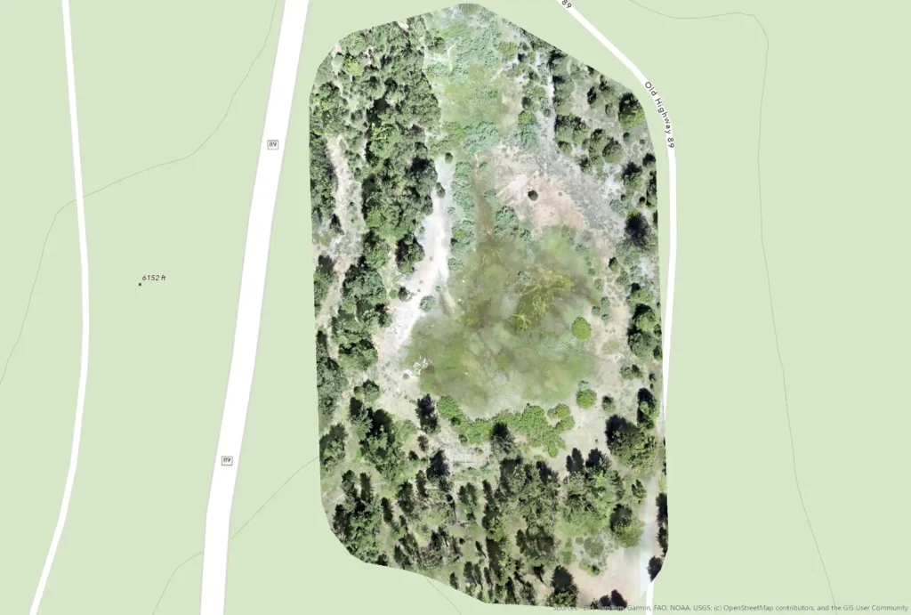
Ortho Imagery

As-Built Contours

Flood Control Mapping

Residential Site Plan

Precision Project Mapping

Construction Progress
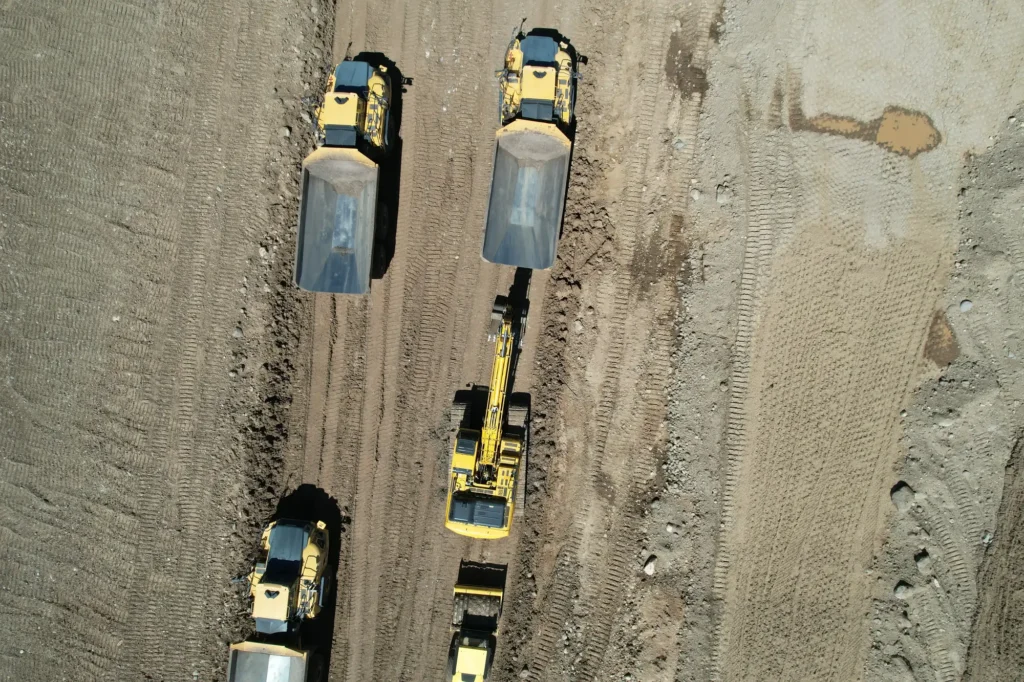
Site Progress Monitoring

Roof Inspection

Kitchen Interior

Living Room Interior
Need something similar? Tell David which project caught your eye, then describe your location and what you need mapped.

A CLOSER LOOK
Maps Worth Using and Displaying
A custom map can serve as a working project resource, a presentation piece or a meaningful visual record of a specific place.
Have a Location You Want Turned Into a Map?
Tell us about the place, the intended use and the features that matter most.