GIS • DIGITAL CARTOGRAPHY • BOTANICAL MAPPING
GIS Mapping for Your Scientific, Construction and Environmental Needs.
Digital cartography and GIS mapping from Medara Earth Technologies, with a focus on rare plant studies, botanical projects and wetland restoration mapping.
Geospatial Information You Can Put to Work
Medara Earth Technologies specializes in digital cartography and Geographic Information Systems. Based in Truckee, California, GIS analyst David Medara works with clients whose mapping needs primarily support rare plant and botanical studies.
GIS Mapping
Digital cartography and GIS mapping for botanical and wildlife studies, hydrology, other scientific studies and project progress capture.
Drone Imagery
Discuss your aerial imagery requirements, project location and intended use with David to confirm the scope and availability of services.
Custom Maps
Contact David about a map for your project, report or display, and discuss the location, required information and preferred format.
BUILT AROUND THE QUESTION
More Than an Image. A Useful Project Deliverable.
A map or aerial photograph only has value when it helps someone understand a property, communicate a plan or document what happened. Every engagement starts by defining the decision, record or presentation the finished work needs to support.
- Clear project scope and intended use
- Appropriate data and imagery collection
- Organized, readable visual presentation
- Deliverables prepared for practical use
A Straightforward Project Process
You do not need to arrive with technical specifications. Start with what you are trying to understand or produce, and the right mapping approach can be defined from there.
1. Define
Describe the study area, mapping question and intended use so David can review your project requirements.
2. Collect
Identify your data and imagery collection needs so we can create actionable information for your team.
3. Build
Organize the agreed geographic information into a map with suitable labels, context and detail for your audience.
4. Deliver
Receive deliverables in a range of digital and print formats. The data and analysis results used to create your maps are included, with formats to suit your needs.
Mapping, Data Collection and Analysis
David’s GIS background includes rare plant and botanical studies, hydrologic data collection, civil structure surveys, oil and gas asset inspection, and wetland restoration mapping, from data collection design to final maps.
David can design mobile data collection systems for your field team, analyze the captured data and produce usable information to move your project forward. Discuss your project to confirm the scope and deliverables required.
- Property and land-use reference
- Project planning and presentation
- Rare plant study mapping
- Botanical study mapping
- Environmental and natural-resource projects
- Wetland restoration mapping
- Custom display and informational maps
- Study-area mapping requirements
- Real estate photography, still photos and hyperlapse
Frequently Asked Questions
What should I send when requesting a quote?
Start with the project location and what you need to understand or produce. We will also need to understand where your data will come from. Does it need to be collected or created, or does it already exist elsewhere?
Do I need to know which GIS or drone service to request?
No. Describe the outcome you need. The recommended collection method and deliverables can be determined from the project requirements.
Can the finished maps be used in presentations or printed?
Deliverables can be prepared for digital viewing, reports, presentations or print. The intended use should be discussed at the beginning so the layout and file format fit the application.
FIELD TO FINISHED DELIVERABLE
The Right Perspective Changes the Conversation
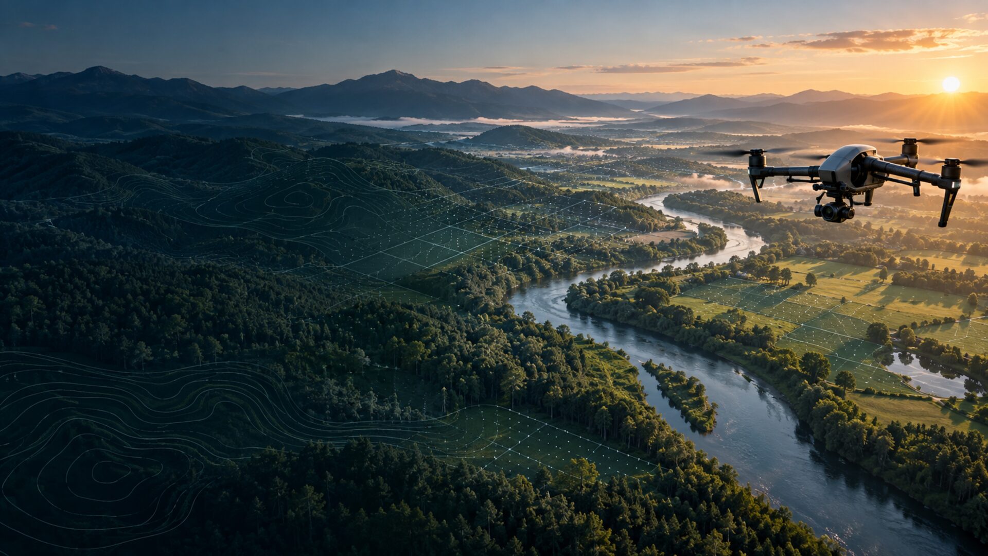
From the first field observation to the finished map, each step is shaped around the decision the work needs to support.
Start With the Project, Not the Technology
Tell us what you need to see, explain or document. We’ll help shape the right mapping approach.