
EXPERIENCE • TECHNOLOGY • PRACTICAL RESULTS
Geospatial Expertise Grounded in Real Projects.
David Medara specializes in digital cartography and Geographic Information Systems, with a focus on mapping for rare plant and botanical studies.
About David Medara
David Medara is a GIS analyst based in Truckee, California. Since August 2020, his freelance work at Medara Earth Technologies has specialized in digital cartography and Geographic Information Systems. Dave’s clients have included ski areas, municipalities, developers and conservation agencies that need to make land management decisions.
GIS Education
David completed a GIS Certificate in Geographic Information Science and Cartography at California State University, Fullerton, studying from September 2018 to June 2020. Dave also holds a degree in Business and Management Information Systems from the University of Maine, where he studied in the 1980s before moving west to become a ski patroller and avalanche professional.
Earlier Career in Rope Access and Rigging
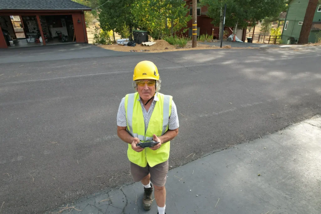
Before his GIS work at Medara Earth Technologies, David held coordination, crew leadership and supervision roles in rope access, rigging and mountain guiding.

Rope Access Coordination
Dave’s technical skills in GIS allowed him to accurately analyze and provide guidelines to rope access crews working in the harsh conditions of Alaska’s North Slope, using information available through British Petroleum’s Enterprise GIS system. Dave’s work required him to produce maps of work locations and diagrams for specific inspection and repair locations.
Rigging and Mountain Guiding
President, Lead Rigger and Mountain Guide at Moab Desert Adventures, May 1998 to March 2014. As a mountain guide for Moab Desert Adventures and other companies, Dave designed and continues to lead backcountry mountaineering, canyoneering and ski mountaineering trips that require extensive map use to plan and execute. The extensive permitting required by land management agencies for these activities, as well as the 60+ photo and film projects he has worked on, taught Dave how important maps and the information they contain are to real-world decision making.
A Transition
As an avid map user both recreationally and professionally, Dave decided to take a deeper dive into Geographic Information Systems in 2018. Dave now spends more of his time creating maps for other users than using them himself, although he still participates in the rope access and outdoor recreation worlds. He takes occasional rope access jobs, recently building via ferratas in mountain locations across the US, and teaches avalanche courses in winter near his home in Truckee, California.
Technology Supports the Work
Digital cartography brings geographic information into a readable map. David’s GIS work focuses on mapping needs associated with rare plant and botanical studies, with wetland restoration mapping also part of his skill set.

WORK GROUNDED IN THE FIELD
Technology Is Only Useful When the Result Makes Sense
The goal is not to overwhelm clients with tools or terminology. It is to deliver information they can understand and put to work.
Let’s Talk About the Result You Need
Share the project, the location and the questions you are trying to answer.